How might we improve mapping to better protect Indonesia's peatlands?
Client: The David & Lucile Packard Foundation
Category: Philanthropy / Innovation
Services:
Program Design, Strategic Planning, Research & Discovery, Facilitation, Brand & Creative Strategy, Communications Strategy
Context
Indonesia’s peatlands are among the world's most vital carbon-sequestering ecosystems. When they burn (often deliberately set to clear land for palm oil plantations) they release massive amounts of carbon, destroy biodiversity, and disrupt local communities.
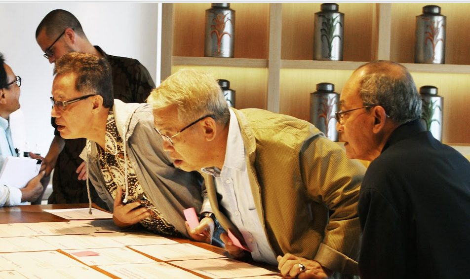
But conservation efforts were paralyzed by a "map war." Government agencies, plantation companies, and NGOs all used conflicting data to define the land. Without a single, indisputable map, enforcement was impossible—companies could simply claim a protected area wasn't actually peatland. You can't protect what you can't accurately measure.
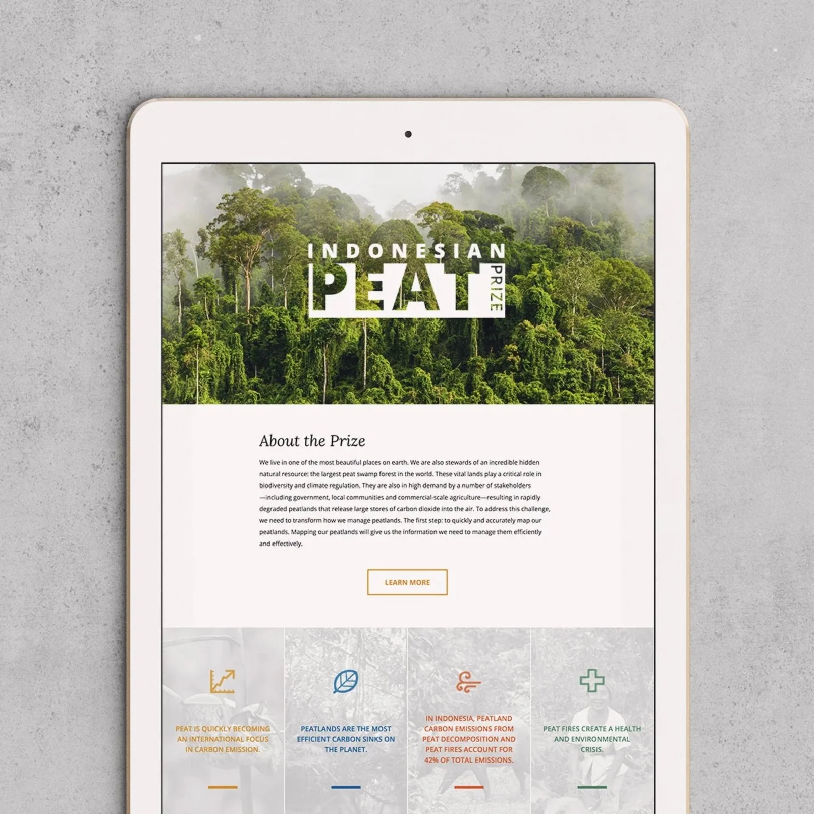
The Packard Foundation and WRI launched the Indonesian Peat Prize to find a mapping solution that could become the national standard. But a technical breakthrough alone wasn't enough; the government had to be willing to adopt it.
Approach
Working with Context Partners, we managed the strategic engagement for the prize, ensuring it served as a bridge to national policy rather than just a technical race. Advisors from NASA’s Jet Propulsion Lab helped shape the challenge itself, ensuring scientific rigor, while we focused on the political and cultural strategy.
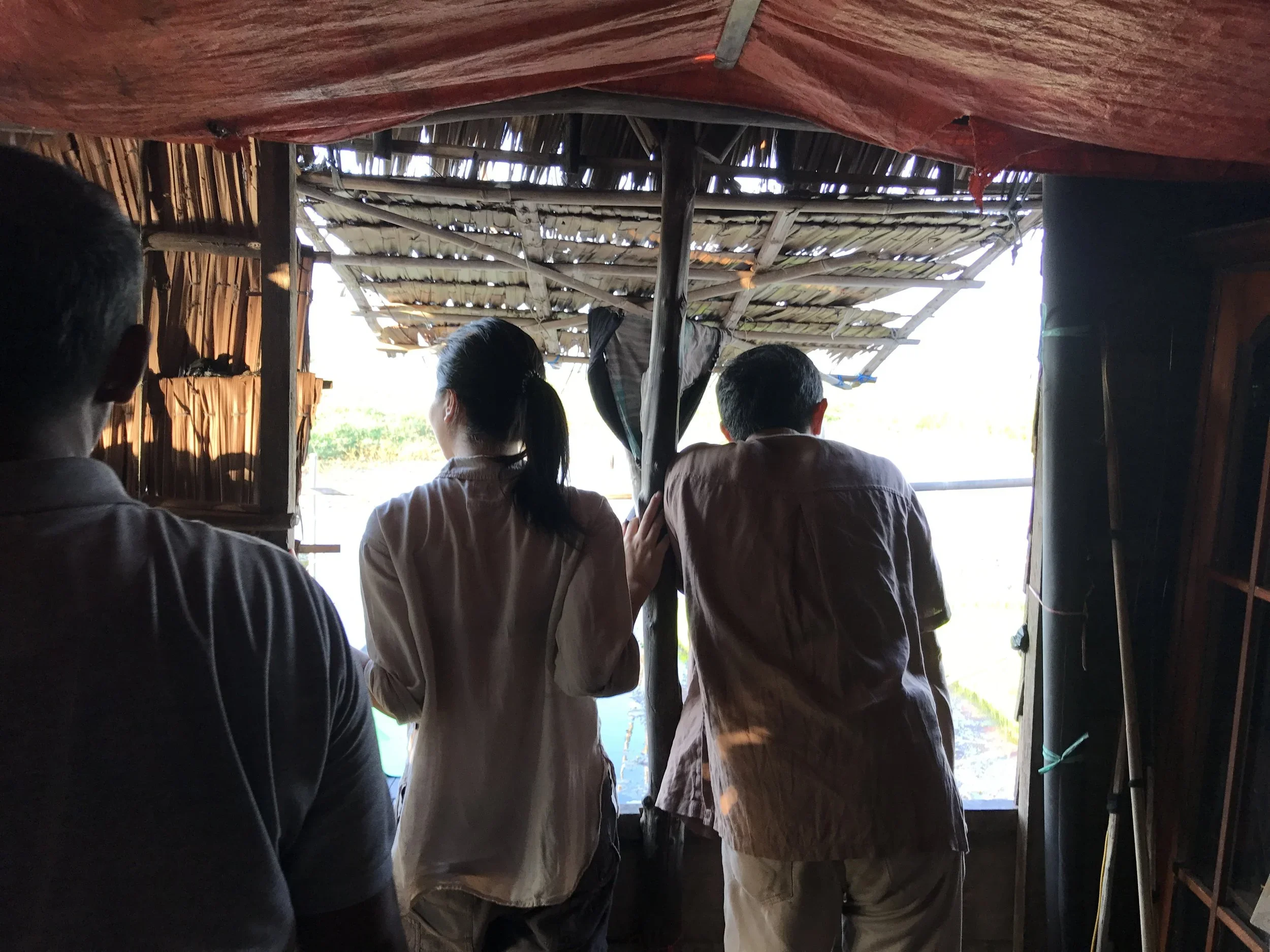
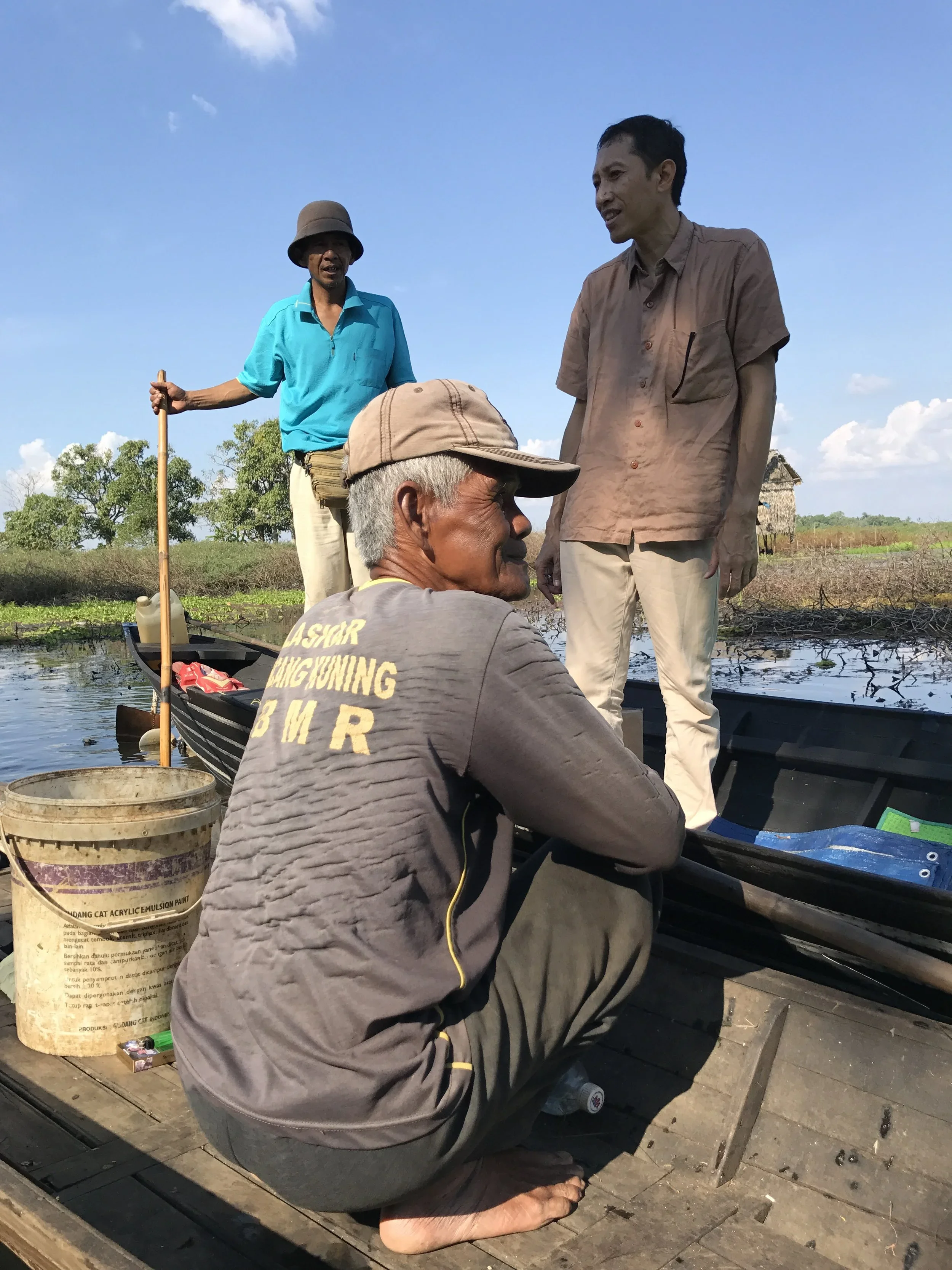
Cultural Integration: We required every international team to include Indonesian researchers, ensuring local expertise was central to the solution.
Visibility: We scouted locations for high-profile milestone events and directed a documentary film that showed why this data mattered to the communities living on the land.
Alignment: We worked with PR partners to frame the prize as a tool for Indonesian sovereignty and environmental stewardship, rather than foreign intervention.
Outcomes
The prize produced a scientific breakthrough that stuck.
Standardization: The winning methodology was officially adopted into Indonesia’s National Standard (SNI) for peatland mapping.
Adoption: This provided the essential data layer needed to enforce the government’s permanent moratorium on peatland conversion, protecting millions of hectares.
Global Reach: The documentary and communications strategy brought the issue to international audiences, securing coverage in major global media outlets.